Every summer, since 2005, I have taken a backpacking trip somewhere in Utah. This summer was no different. Last year, I went to the Uintas all by myself because my stalwart backpacking partner, Christopher Davis, was in London for a mission. This year, I convinced Christopher's little brother, Andrew Davis, to go backpacking with me.
 |
| Andrew Davis |
Both of us grew up at the base of Lone Peak. That fact, combined with the rumor of being the deadliest peak in Utah, creates a kind of irresistible appeal. Although I have summited the peak twice before, Andrew had never been up there. So last Monday, at 5 AM, we started up the mountain.
There are several trails that go up the mountain, but because I am me I decided to go up the steepest, longest, and toughest one, Cherry Canyon Logging Trail. The advantage of this trail is that it gets you to the top of the mountain quickly. The disadvantage is the steepness of the trail, especially with a 40 pound backpack. As is always the case putting one foot in front of the other got us up the 4,000 vertical feet to our campsite at 9,100 feet.
 |
| Getting to camp with Lone peak in the distance. |
 |
| My tent at camp. |
 |
| Andrew's tent and myself about to eat dinner at camp. |
We made it up to the campsite by 9:45 AM and went about setting up camp. A requisite amenity that had to be found was a source of water. I was relatively confident that there was water 5 minutes of the trail. Unfortunately, this was not the case. After searching though, we were able to locate running water, it was 10 minutes up the trail. We spent the rest of the day in and around the camp taking it easy, we even took a nap.
The next day was the main event, summiting Lone Peak. From the camp we had quite a ways to go to get to the summit, not to mention the 2,000+ foot elevation gain.
 |
Looking down to northern Utah County from a huge granite slab we had to cross.
Micron can be seen below Andrew's finger. |
 |
| Looking up the small canyon leading to the cirque. |
 |
| Looking down from the top of the same canyon. Utah Valley is getting smallers! |
 |
| Approaching Lone Peak. |
I feel it necessary to give a warning here. If you have a fear of heights or are apprehensive about your balance, you should NEVER attempt this summit. The approach is very much exposed and one false step could be your last.
Having done Lone Peak twice before and not ever seeing a single person on the approach, I was surprised to see three different groups on the approach. One group, two young couples, were on a precipice right below the summit. I was waiting for them to continue to the summit. After a few minutes I asked them if they had any intention to go to the summit. They 'informed' me that the precipice they were on was technically the peak as it had this geological marker.
I then informed them that the higher peak 10 yards to the south had a geological marker also and was indeed the peak. They seemed not to believe me so Andrew and I continued on. We then got a picture of the real Lone Peak marker.
Here are a few pictures from the summit.
 |
| Where lookin down becomes sage advice! |
 |
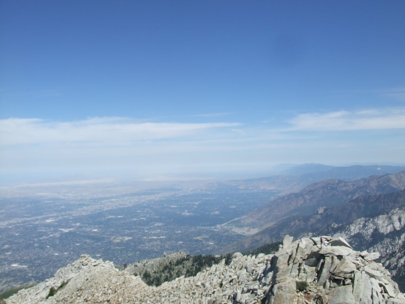
| Looking toward southern Salt Lake County. Kennecott can be seen in the distance. |
 |
| Looking toward northern Salt Lake Valley. |
 |
| Looking down the north side of the summit. |
 |
| Me taking it easy on the summit with Upper Bell Canyon below. |
I was a bit apprehensive about getting down, but the descent was relatively uneventful.
The next day we took a hike to the Allen Brother's Cabin in an upper drainage of Little Willow.
 |
| Allen Brother's Cabin |
 |
| Looking inside. Someone must have been there recently cleaning up and maintaining the cabin. |
We then took an impromptu hike on a trail we found by the cabin. It quickly became apparent that the trail was to merge with the main trail that leads to the peak. We decided to stay by the neat granite rock formations on the ridge and follow that to just below Lone Peak.
 |
| Neat rock formation. |
 |
| More neat formations. |
 |
| The granite spires towering at the top of Big Willow. |
 |
| Looking down Big Willow. |
That night we climbed Enniss Peak, adjacent to our camp. where we watched residents of both Salt Lake and Utah counties celebrate the 24th of July with fireworks. We were so high that we looked down on the tiny exploding fireworks, which we knew seemed large from the valley floor.
The next morning we packed up camp and descended the 4,000 vertical feet to the trailhead. The steep trail made the descent very quick. When we looked back up at the mountain, we were very proud at what we had accomplished.
 |
| Lone Peak (not my picture, from Dean on SummitPost) |